-
Event News
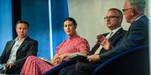
The Maritime and Coastguard Agency hosts UK Flag Forum 2025
Read More11 July 2025
Autonomous vessels and alternative fuels were among the key maritime topics being discussed by ship owners, operators and regulators at this year’s UK Flag Forum.
-
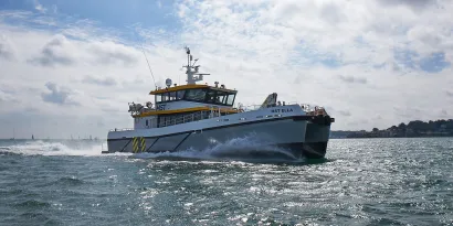
Workboat
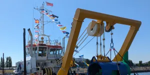
MCA trio given honour of Seadragon naming ceremony
Read More11 July 2025
A trio of Maritime and Coastguard Agency colleagues were given the honour of attending the naming ceremony in Cardiff of a new UK-registered workboat.
-
Event
UK Flag Forum 2025
View Event8 July 2025 , 09:00 – 19:00
Discuss decarbonisation, innovation, maritime challenges and policy facing the UK maritime sector at the 2025 UK Flag Forum.
-
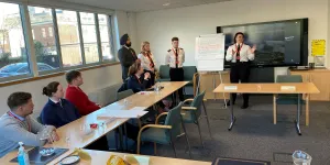
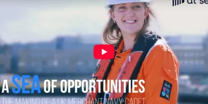
Seafarer

Officer cadet training documentary
Read More11 July 2025
The Merchant Navy Training Board, part of the UK Chamber of Shipping, has recently released an insightful Careers at Sea documentary called A Sea of Opportunities: The Making of a UK Merchant Navy Cadet.
-
Decarbonisation

Driving Forward Maritime Decarbonisation
Read More11 July 2025
On 25 March 2025, the Department for Transport launched its ambitious Maritime Decarbonisation Strategy, setting a clear course toward a cleaner, greener maritime future.
-
Event

Nor-Shipping 2025
View EventFrom: 2 June 2025
To: 6 June 2025
The 30th edition of Nor-Shipping will be taking place from the 2 to the 6 June 2025 in Norway.
-
Event

Seawork 2025
View EventFrom: 10 June 2025
To: 12 June 2025
Meet the Maritime and Coastguard Agency at Seawork on Stand L43.
-
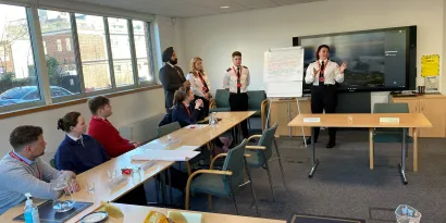
Event News
Seafarers’ forum hosted at Maritime and Coastguard Agency HQ
Read More11 July 2025
The views of seafarers were at the heart of a special spring forum hosted at the Maritime and Coastguard Agency’s HQ.
-
Seafarer

Updated guidance for UK Legal and Administrative Processes (UKLAP) examinations
Read More11 July 2025
An amendment has recently been released providing updated guidance on MIN 690 which details regulations for the Maritime and Coastguard Agency (MCA) oral examination booking, the issue of notices of eligibility (NOEs) and the online oral examination processes.
BETA
This is a new service - yourfeedback (opens in a new tab)will help us improve it.
News and Events
- All
- /
- News
- /
- Events
- /
- Case Studies


UK Ship Register Commercial Newsletter
Stay up to date with the UK Ship Register's latest news and sign up to our commercial newsletter.
Read more